|
The village of Les Chéris is a small village located north west of France. The town of Les Chéris is located in the department of Manche of the french region Basse-Normandie. The town of Les Chéris is located in the township of Ducey part of the district of Avranches. The area code for Les Chéris is 50132 (also known as code INSEE), and the Les Chéris zip code is 50220.
Geography and map of Les Chéris :
The altitude of the city hall of Les Chéris is approximately 30 meters. The Les Chéris surface is 5.87 km ². The latitude and longitude of Les Chéris are 48.636 degrees North and 1.256 degrees West.
Nearby cities and towns of Les Chéris are :
Marcilly (50220) at 1.54 km, Ducey (50220) at 2.99 km, Le Mesnil-Ozenne (50220) at 3.96 km, Poilley (50220) at 4.37 km, Saint-Quentin-sur-le-Homme (50220) at 4.61 km, Saint-Loup (50300) at 4.70 km, Saint-Ovin (50300) at 5.28 km, La Godefroy (50300) at 6.59 km.
(The distances to these nearby towns of Les Chéris are calculated as the crow flies)
Population and housing of Les Chéris :
The population of Les Chéris was 235 in 1999, 242 in 2006 and 249 in 2007. The population density of Les Chéris is 42.42 inhabitants per km². The number of housing of Les Chéris was 118 in 2007. These homes of Les Chéris consist of 93 main residences, 14 second or occasional homes and 11 vacant homes. |
|
|
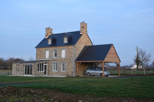
Hotel Les Chéris
|
|
|
Book now ! Best Price Guaranteed, no booking fees, pay at the hotel with our partner Booking.com, leader in online hotel reservation.
Find all hotels of Les Chéris : Hotel Les Chéris
| |
|
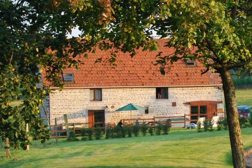
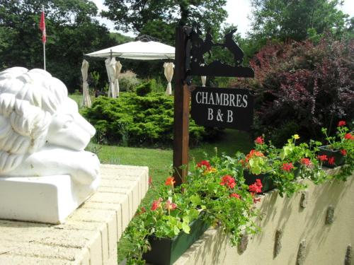
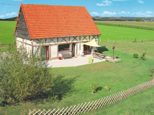
Guest accommodation : Les Basses Beaulinges
Situated in Chalandrey near Isigny-le-Buat in Normandy, Les Basses Beaulinges is a converted cider barn offering cottage style accommodation with a private terrace and garden wi...
Address : Les Basses Beaulinges, Chalandrey 50540 Isigny-le-Buat
Distance Guest accommodation - Les Chéris : 2.25 km
|
|
|
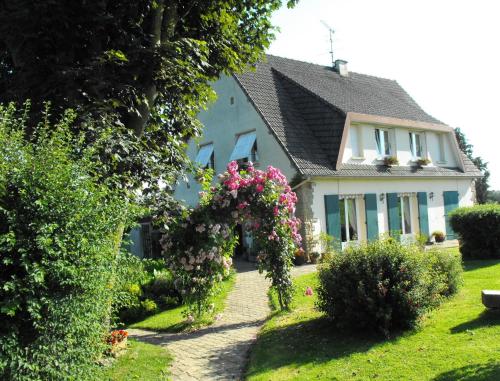
Bed and Breakfast : La Chevallerie
Located in a picturesque and rural setting in the Normandy region, La Chevallerie is located in Chalandrey, just 3.5 km from the centre of Isigny-le-Buat and 28 km from the Mont...
Contact : Chalandrey Ducey 50540 Isigny-le-Buat
Distance Bed and Breakfast - Les Chéris : 3.06 km
|
|
|
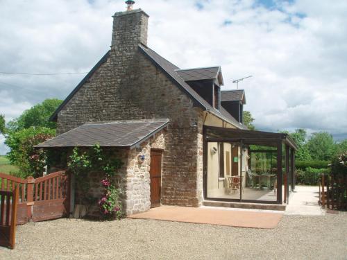
Guest accommodation : La Chaumiere

Situated in Isigny-le-Buat in the Lower Normandy region, La Chaumiere features a terrace and garden views. The property was built in 2001 and has accommodation with a balcony. ...
Contact : La Chaumiere La Touche Durand Vezins 50540 Isigny-le-Buat
Distance Guest accommodation - Les Chéris : 3.33 km
|
|

|
Hotel : Auberge De La Sélune
The Auberge de la Sélune is a country hotel located in Ducey, just 20 km from the Mont-Saint-Michel and beside the Sélune river, one of the last salmon rivers in France. The hot...
Rate : from 69.00 €
to 179.00 €
Contact : 2 Rue Saint-Germain 50220 Ducey
Distance Hotel - Les Chéris : 3.39 km
|
|
|
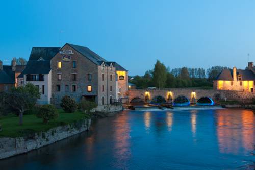
Hotel : Best Western Le Moulin de Ducey
This former mill is situated on the banks of the River Sélune and only a 30-minute drive from the abbey at Mont-Saint-Michel. Free Wi-Fi access and a flat-screen TV with satelli...
Price : from 60.00 €
to 167.00 €
Address : 1 Grande Rue 50220 Ducey
Distance Hotel - Les Chéris : 3.46 km
|
|
|
Guest accommodation : Gîte La Rivière
Gîte La Rivière is situated in Isigny-le-Buat and offers barbecue facilities and a garden. The accommodation features free WiFi. The holiday home comes with 3 bedrooms and a fu...
Contact : 50540 Isigny-le-Buat
Distance Guest accommodation - Les Chéris : 3.92 km
|
|
|
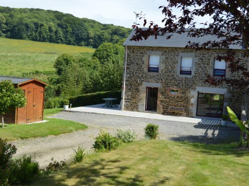
Guest accommodation : Gîtes de la Croix du Bourg

Located in Le Mesnil-Ozenne, 33 km from Le Mont Saint Michel, Gîtes de la Croix du Bourg offers a garden and free WiFi. All units feature a flat-screen TV, a private bathroom a...
Contact : La Croix du Bourg 50220 Le Mesnil-Ozenne
Distance Guest accommodation - Les Chéris : 4.12 km
|
|
|
Guest accommodation : Ferienhaus Chalandrey 400S
Ferienhaus Chalandrey 400S is situated in Chalandrey. Guests staying at this holiday home have access to a fully equipped kitchen. Le Mont Saint Michel is 32 km from the holida...
Contact : 50540 Chalandrey
Distance Guest accommodation - Les Chéris : 4.25 km
|
|
|
Guest accommodation : Julien
Located in Isigny-le-Buat in the Lower Normandy region, Julien has a terrace and garden views. Guests staying at this holiday home have access to a fully equipped kitchen. The ...
Address : La rousserie- Montgothier 50540 Isigny-le-Buat
Distance Guest accommodation - Les Chéris : 4.54 km
|
|
|
Bed and Breakfast : Chambres d'hôtes Les Vallées
Located in Saint-Quentin-sur-le-Homme, Chambres d’Hôtes Les Vallées is 22 km from Mont-Saint-Michel. It offers free Wi-Fi in public areas and a 200 m² flowered garden. With gar...
Rate : from 65.00 €
to 75.00 €
Contact : 12 Route des Vallées 50220 Saint-Quentin-sur-le-Homme
Distance Bed and Breakfast - Les Chéris : 4.54 km
|
|
Find another hotel near Les Chéris : Les Chéris hotels list
|
Map of Les Chéris
|
|
Map of Les Chéris :
At right you can find the localization of Les Chéris on the map of France. Below, this is the satellite map of Les Chéris. A road map, and maps templates of Les Chéris are available here : "road map of Les Chéris". This map show Les Chéris seen by the satellite of Google Map. To see the streets of Les Chéris or move on another zone, use the buttons "zoom" and "map" on top of this dynamic map.
Search on the map of Les Chéris :
To search hotels, housings, tourist information office, administrations or other services, use the Google search integrated to the map on the following page : "map Les Chéris".
Hotels of Les Chéris are listed on the map with the following icons: 
The map of Les Chéris is centred in the following coordinates :
|

|
|
|
|
Print the map of Les Chéris

Print the map of Les Chéris : map of Les Chéris
|
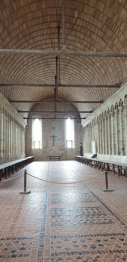
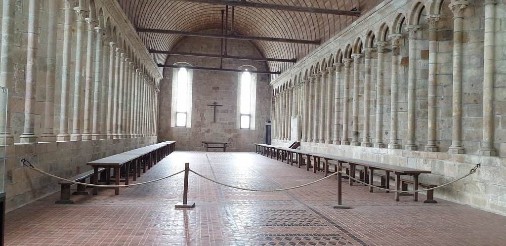
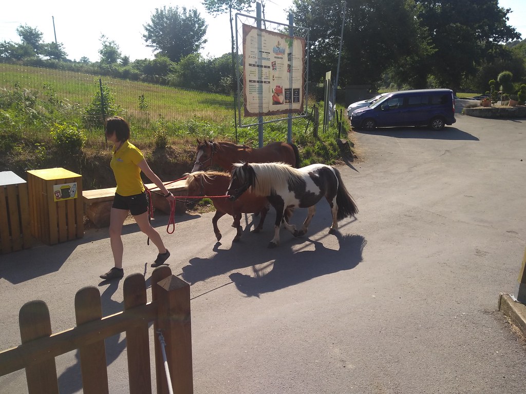
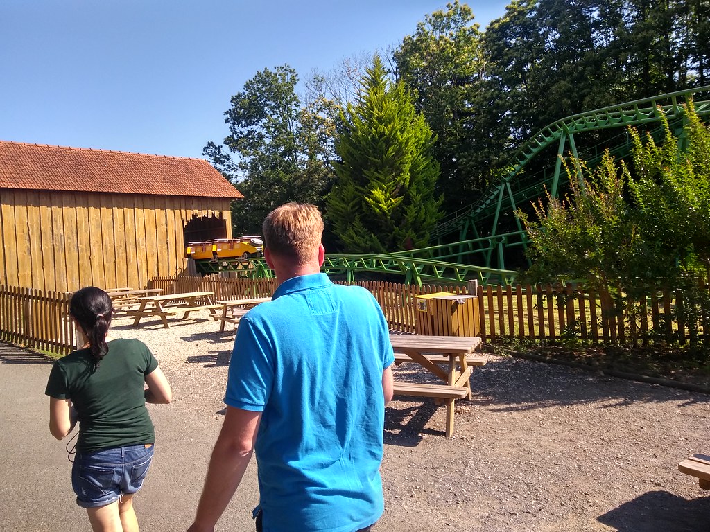
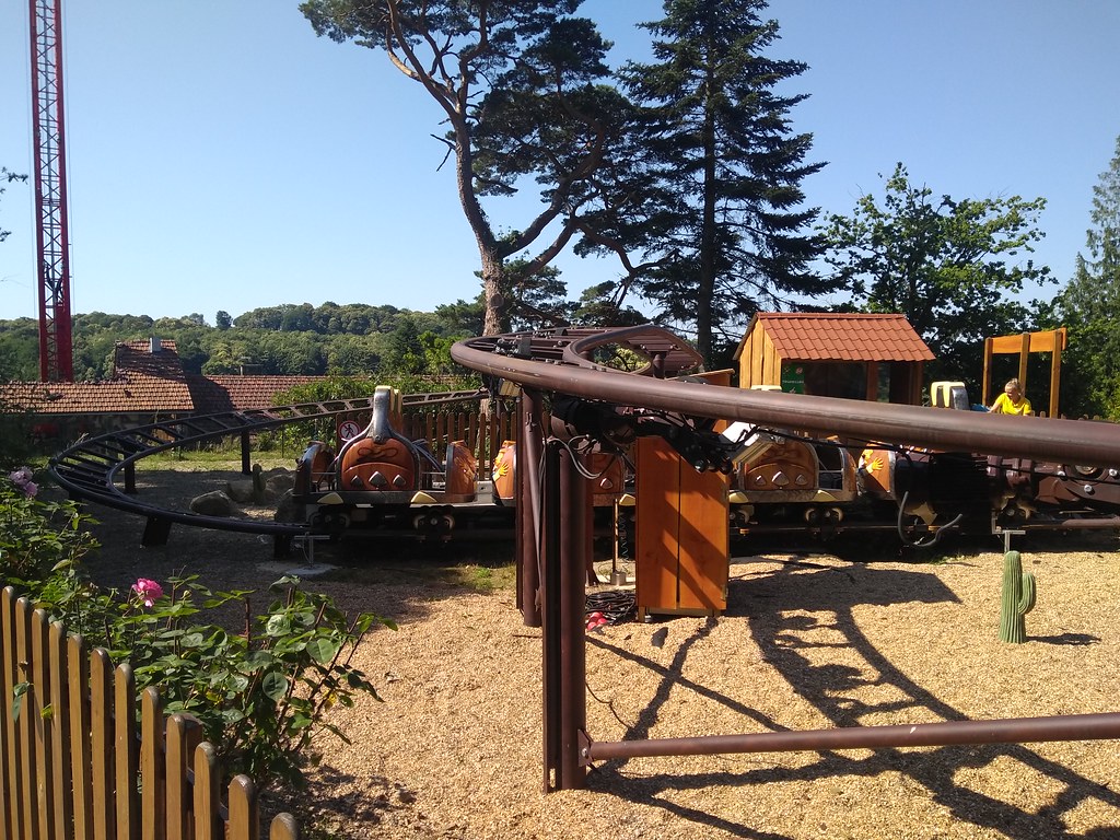
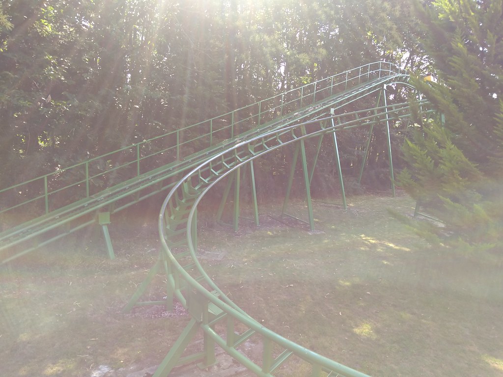
Photos Les Chéris
|
See all photos of Les Chéris :
Other photos of Les Chéris and nearby towns can be found here: photos Les Chéris
|
|
Les Chéris weather forecast
Find next hours and 7 days weather forecast for Les Chéris here : weather Les Chéris (with english metrics)
This is the last weather forecast for Les Chéris collected by the nearest observation station of Ducey.
Week Forecast:
The latest weather data for Les Chéris were collected Friday, 31 July 2026 at 11:03 from the nearest observation station of Ducey.
| Friday, July 31st |
24°C 15°C
0%
53%
|
Partly cloudy
Temperature Max: 24°C Temperature Min: 15°C
Precipitation Probability: 0%
Percentage of sky occluded by clouds: 53%
Wind speed: 17 km/h South-East
Humidity: 59%° UV Index: 5
Sunrise: 06:38 Sunset: 21:44 |
|
| | Saturday, August 1st |
24°C 11°C
0%
65%
|
Mostly cloudy
Temperature Max: 24°C Temperature Min: 11°C
Precipitation Probability: 0%
Percentage of sky occluded by clouds: 65%
Wind speed: 12 km/h South
Humidity: 57%° UV Index: 4
Sunrise: 06:39 Sunset: 21:43 |
|
| | Sunday, August 2nd |
29°C 11°C
0%
67%
|
Mostly cloudy
Temperature Max: 29°C Temperature Min: 11°C
Precipitation Probability: 0%
Percentage of sky occluded by clouds: 67%
Wind speed: 7 km/h Sout-East
Humidity: 50%° UV Index: 4
Sunrise: 06:40 Sunset: 21:41 |
|
| | Monday, August 3rd |
30°C 18°C
0%
52%
|
Partly cloudy
Temperature Max: 30°C Temperature Min: 18°C
Precipitation Probability: 0%
Percentage of sky occluded by clouds: 52%
Wind speed: 11 km/h North-East
Humidity: 50%° UV Index: 5
Sunrise: 06:42 Sunset: 21:40 |
|
|
Attribution: 
|
|
Other maps, hotels and towns in france
Find another town, zip code, department, region, ...
Quick links Les Chéris :
Make a link to this page of Les Chéris with the following code :
|
|
|
 French Version : http://www.cartesfrance.fr/carte-france-ville/50132_Les Cheris.html